Welcome to geng.co.uk v2.0
A source of information, opinion and ramblings from a (thankfully still) young, old hand in the outdoors. If you find the site is missing anything or you would like to suggest topics or items of gear for review then please let me know via the contact form.
Happy reading,
Phil
When was my map last updated?
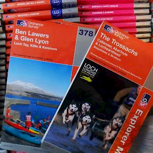
Not only is this one of the most asked questions for the Ordnance Survey (OS) Customer Service team, but also one of the most frequent for me when people realise I work for the very organisation "making" the by now iconic orange and purple outdoor maps. In short, the answer can be found in the OS Leisure product catalogue which is updated regularly. Especially where maps were recently reprinted due to logo changes and overall branding changes, many users believe the maps themselves were updated at the same time when this is not the case.

Camp Food: Mexican Fried Rice


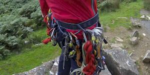
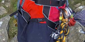
The beginner's guide to harnesses

Review: Edelrid Typhoon


Why

Paperwork Hell

It's all work and play


A challenging problem

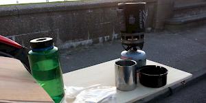
Review: Jetboil Zip PCS
Happy new outdoor year
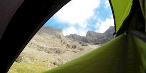
Call of the wild

Best practice vs Common practice
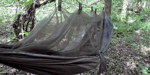
Review: Snugpak Jungle Hammock

Back to Basics
Review: DMM Super Couloir
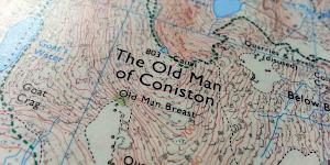
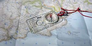
The secret life of maps


Review: Deuter Guide Lite 32+


Review: DMM Alloy Offsets

Review: Exped SynMat UL 7 M
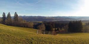
Adventurous solitude

Review: Petzl Nao 575L
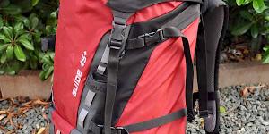
Review: Deuter Guide 45+

Stopper knot or not?
Keep calm and warm up

The beginner's guide to climbing shoes

Review: La Sportiva Mythos

Go on - get lost!


Review: Boreal Joker
Review: MSR Whisperlite Universal

(Un)justifiable risk?

To spot or not?
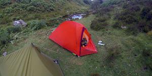
Review: Vaude Hogan UL Argon 1-2P (red)
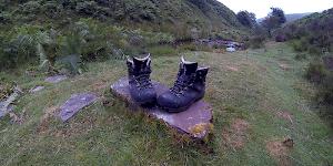
Review: Mammut/Raichle MT Trail GTX boots